The trail, as it is today.
Live conditions from people on the route, maps that work without signal, and check-ins your family can follow. Made for trekking in Nepal.
Free. In Nepali and English.
Contours drawn from the elevation data in the app’s Annapurna pack.
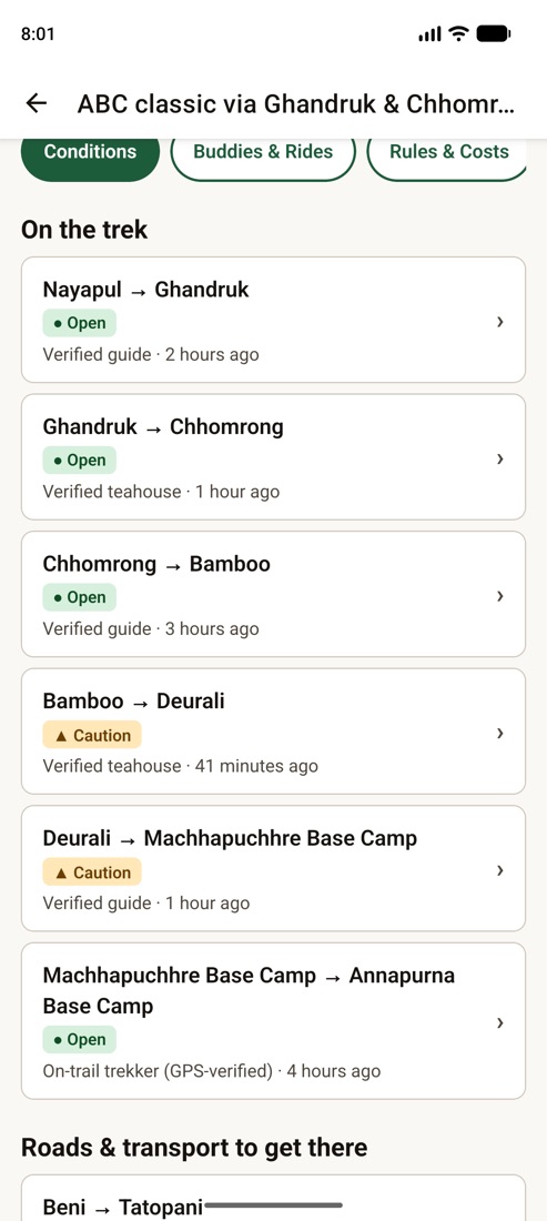
Every report says when, and who.
Guides, teahouses and trekkers report what they see on each part of the trail. You always see how old a report is and who made it, so “open” from this morning means something.
Conflicts stay visible
When two recent reports disagree, you see both. Nothing is averaged away.
Old news fades
A report nobody has confirmed for a while is marked stale, not shown as current.
Official alerts first
Road closures and warnings from official sources sit above everything else, with a link to the source.
Keeps working when the signal stops.
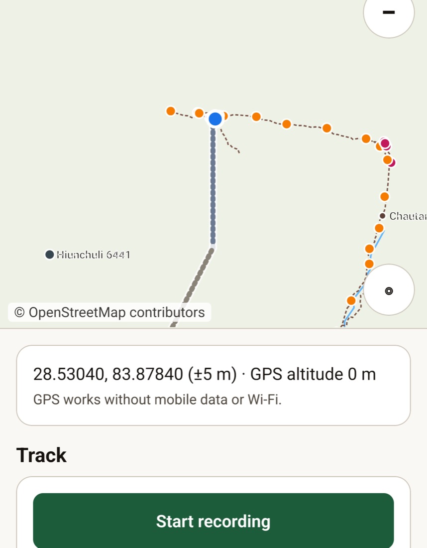
Download your region once, at home or in Pokhara. After that the map, the elevation profiles, the trek guide, the rules and the emergency numbers all work in airplane mode.
A real trail map
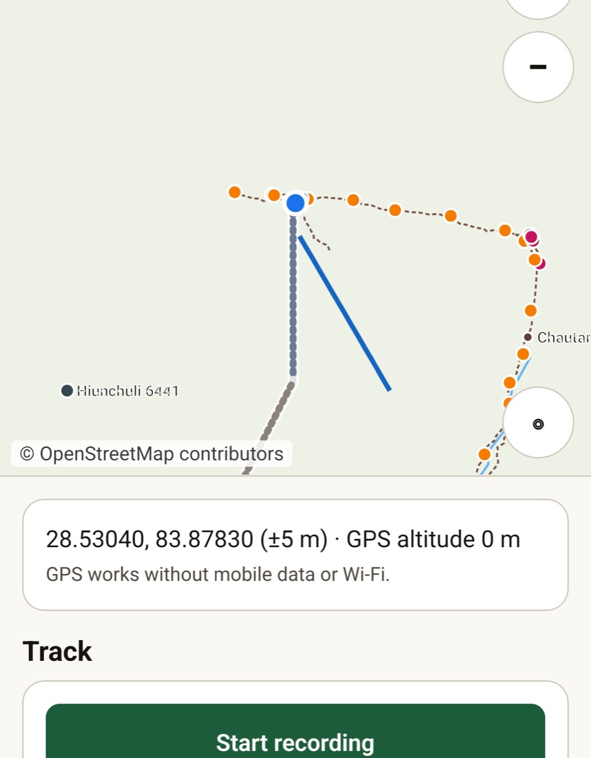
Trails, villages, lodges, water, bridges, health posts and helipads from OpenStreetMap, with your location.
Climbs before you climb them
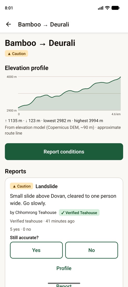
An elevation profile for every stage, drawn from satellite elevation data.
Record your trek
Track your route with a battery saver, mark waypoints, and export GPX when you get home.
Check-ins your family can follow.
Plan one check-in a day. Tap it when you reach your stop, with or without data. People at home follow along on a private link and never need the app.
- Day 1GhandrukChecked in 5:40 pm
- Day 2ChhomrongChecked in 5:52 pm
- Day 3BambooDue by 6:00 pm
Missed one? The app reminds you first. Only after a grace period do your contacts get a calm message: “missed a planned check-in — this often just means no signal.” It never declares anyone missing.
No data? Use SMS
Text a short code from your own phone and it counts as a check-in.
SOS that tells the truth
Sends over data when it can, opens a ready-made SMS when it can’t, and shows your coordinates offline. It shows exactly what was sent.
Family Follow link
Your plan, check-ins and route conditions on one page. It expires after the trip, and you can revoke it any time.
Plan with real numbers.
Permits, checkpoints and prices change. TrekSathi shows where each answer comes from and how recent it is.
Rules with their source
Each permit and checkpoint rule shows its official source and the date it was checked, or says plainly that it is not confirmed yet.
What people actually paid
Dal bhat, rooms, jeeps and guides from recent reports, with how many reports and how recent.
Altitude warnings
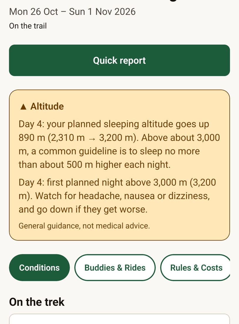
The planner flags big jumps in sleeping altitude and your first nights above 3,000 m.
Trek buddies and shared jeeps
Find people on the same route within a few days of you, and split a jeep with the cost worked out.
A look inside
Help and troubleshooting
The map says “Getting location…” for a long time.
Without mobile data, the first GPS fix can take a minute or two. Stand in the open, away from walls and tall trees. After the first fix it is quick. On Android, if you turned down “Location Accuracy”, the app still works with GPS alone.
My region pack won’t download.
Packs download on Wi-Fi only by default. Connect to Wi-Fi, or tap “Use mobile data this time”. If the connection drops, tap Resume: the pack continues where it stopped.
I didn’t get my sign-in code.
Check the number includes your country code if it isn’t Nepali (for example +44…). Wait a minute before asking for a new code. You can also sign in with email instead.
My track stops recording when the screen is off.
Allow location “All the time” for TrekSathi in your phone’s settings, and keep battery optimisation off for the app while you trek.
Take it on your next trek.
TrekSathi is in testing now and coming to the App Store and Google Play.
Questions or a trail report for us? Email support@luklalogic.ai